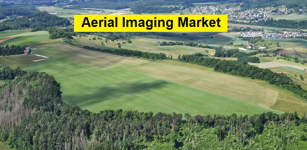
The aerial imaging market is expected to reach US$ 10.5 Billion by 2032, up from US$ 3.0 Billion in 2022, expanding at a high CAGR of 13.3%. This study explains that Aerial Imaging companies are consistently focusing on developing advanced camera systems for a wide range of imaging applications. This factor is expected to fuel market growth during the forecast period.
Major factors expected to accelerate the growth of the Aerial Imaging Market during the forecast period include a rise in demand for aerial imaging in disaster risk reduction and prevention, the surge in demand for varied commercial applications, and the use of aerial imaging technology in setting up 5G infrastructure.
Request Sample Report: Empower Your Industry Understanding with Invaluable Insights
https://www.futuremarketinsights.com/reports/sample/rep-gb-14483
Additionally, the adoption of aerial imagery services has increased owing to their various applications such as photogrammetric surveys, development of topographic maps, environmental studies, surveillance, and others. Increased application areas among various verticals, such as agriculture, forestry, energy & resource, and civil engineering. These are some other factors that will propel the market growth over the analysis period.
Key Takeaways from the Aerial Imaging Market Report:
- The global aerial imaging market was valued at US$ 3.0 Billion by 2022-end
- The US to account for the highest value share of US$ 3.9 Billion of global market demand for Aerial Imaging Market in 2032
- From 2015 to 2021, Aerial Imaging demand expanded at a CAGR of 13.9%
- By Application, Geospatial Technology constitutes the bulk of the Aerial Imaging market with a CAGR of 14.2%.
Competitive Landscape:
Players in the global Aerial Imaging Market focus on expanding their global reach through various strategies, such as; partnerships, collaborations, and partnerships. The players are also making a significant investment in R&D to add innovations to their products which would help them in strengthening their position in the global market. Some of the recent developments among the key players are:
- In January 2022, Iris Automation, Doosan Mobility Innovation (DMI), and Drone America agreed to use Doosan’s hydrogen fuel cell technology to explore the feasibility and opportunities for long-range autonomous unmanned aerial vehicles (UAV).
- In December 2021, the US Navy and Boeing initiated the testing phase of the MQ-25 T1 test asset, an unmanned aerial refueler. The first test successfully ensured the possible future integration of unmanned vehicles for refueling purposes in military operations.
- In July 2021, senseFly, a leading provider of fixed-wing mapping drones announced the launch of eBee TAC, an advanced fixed-wing Unmanned Aircraft System (UAS) designed for covert tactical mapping operations in security defense and governmental sectors. The eBee TAC provides active field personnel access to reliable and accurate location data and maps, offering field intelligence and situational awareness required to act with confidence and precision across rapidly changing environments.
Leading Key Players:
- Terra Flight Aerial Imaging Inc.
- Fugro Ltd
- Nearmap Ltd.
- Eagle View Technologies, Inc.
- Digital Aerial Solutions, LLC
- Aerial Imaging Productions, LLC
Seize the Moment: Buy Now for a Thorough Report
https://www.futuremarketinsights.com/checkout/14483
Know More About What the Aerial Imaging Market Report Covers:
Future Market Insights offers an unbiased analysis of the global Aerial Imaging Market, providing historical data for 2015-2021 and forecast statistics from 2022-2032. To understand opportunities in the Aerial Imaging Market, the market is segmented on the basis of application, and end-use industry across five major regions.
Key Segments Covered in the Aerial Imaging Market Study
By Application:
- Aerial Imaging for Energy Extraction
- Aerial Imaging for Geospatial Technology
- Aerial Imaging for Natural Resources Management
- Aerial Imaging for Construction & Development
- Aerial Imaging for Disaster Response Management
- Aerial Imaging for Defense & Intelligence
- Aerial Imaging for Conservation & Research
- Aerial Imaging for Media & Entertainment
By End Use Industry:
- Aerial Imaging for Government
- Aerial Imaging for Commercial Enterprises
- Aerial Imaging for Civil Engineering Industry
- Aerial Imaging for Military
- Aerial Imaging for Forestry & Agriculture
- Aerial Imaging for Energy Sectors
- Aerial Imaging for Insurance
By Region:
- North America
- South America
- Europe
- Asia Pacific
- Middle East & Africa
About Future Market Insights (FMI):
Future Market Insights, Inc. (ESOMAR certified, recipient of the Stevie Award, and a member of the Greater New York Chamber of Commerce) offers profound insights into the driving factors that are boosting demand in the market. FMI stands as the leading global provider of market intelligence, advisory services, consulting, and events for the Packaging, Food and Beverage, Consumer Technology, Healthcare, Industrial, and Chemicals markets. With a vast team of over 5000 analysts worldwide, FMI provides global, regional, and local expertise on diverse domains and industry trends across more than 110 countries.
Contact Us:
Future Market Insights Inc.
Christiana Corporate, 200 Continental Drive,
Suite 401, Newark, Delaware – 19713, USA
T: +1-845-579-5705
For Sales Enquiries: sales@futuremarketinsights.com
Website: https://www.futuremarketinsights.com
LinkedIn| Twitter| Blogs | YouTube
